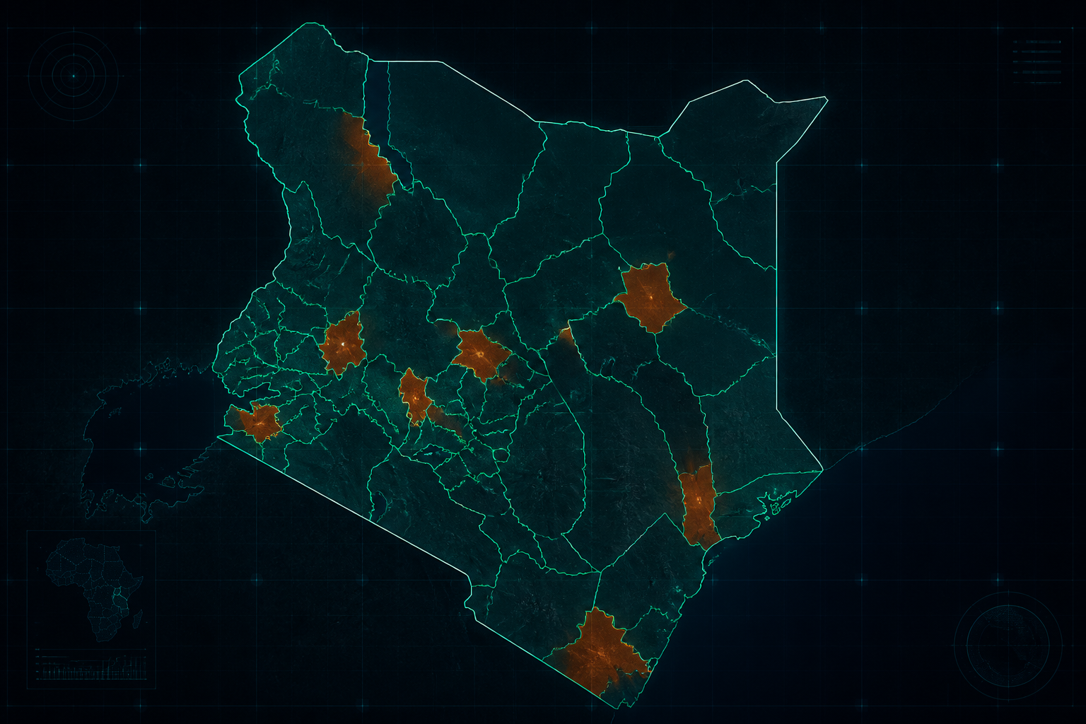
Project 01 · National scale
Kenya, mapped by potential.
Explore the signals shaping connectivity, settlement, and industry across all 47 counties.
47 countiesConnectivitySettlementIndustry
View this projectI'm Teddy Innocent Mwangi — a geospatial engineer integrating GIS, remote sensing and AI to solve real problems in agriculture, urban planning, climate and disaster response.
Machine learning applied to satellite and GIS data — classification, change detection, and prediction pipelines built in Python.
Clean, decision-ready maps and dashboards from field, drone and satellite sources.
One-on-one sessions to scope your problem and design a geospatial + AI approach that actually ships.
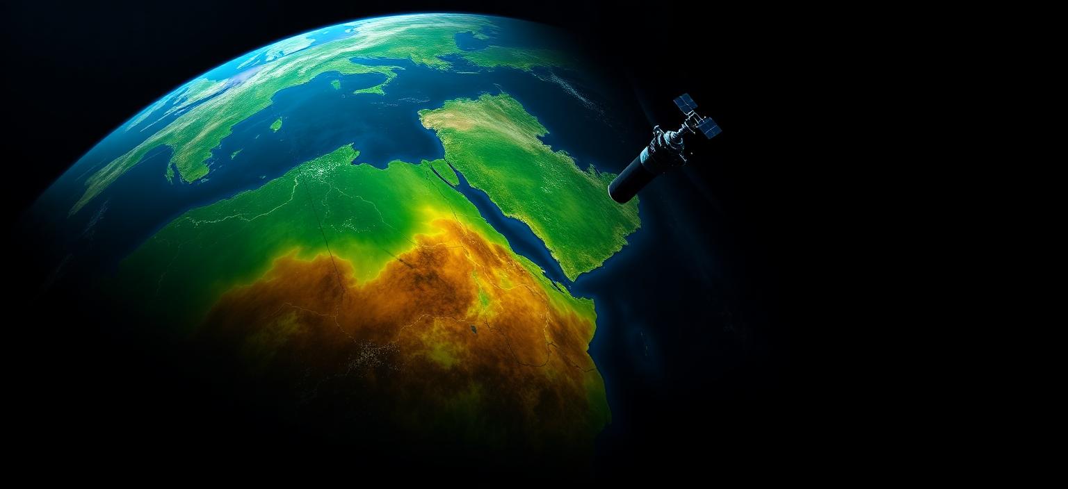
Every project follows a simple pipeline: capture the data, process it, apply AI, and deliver insight you can act on.
High-resolution imagery from multiple sources — optical, radar, thermal and aerial sensors.
Advanced digital image processing — correction, enhancement, feature extraction and band stacking.
Machine learning models that detect patterns, classify land cover and spot changes over time.
Clear visualizations and reports that support confident, evidence-based decisions.
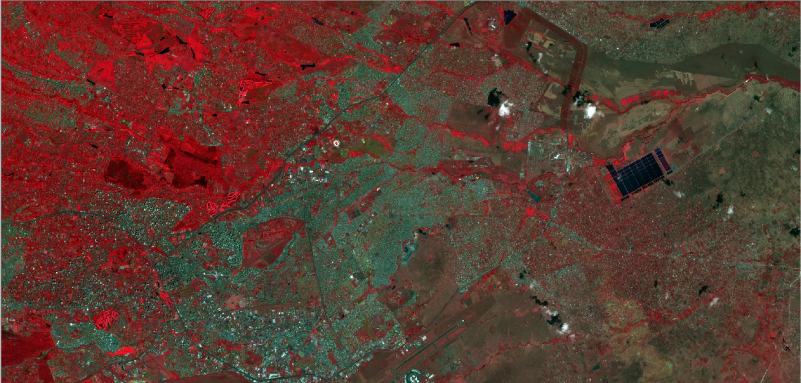
Change detection is the heartbeat of modern remote sensing: track land use, vegetation, water bodies and urban growth over time.
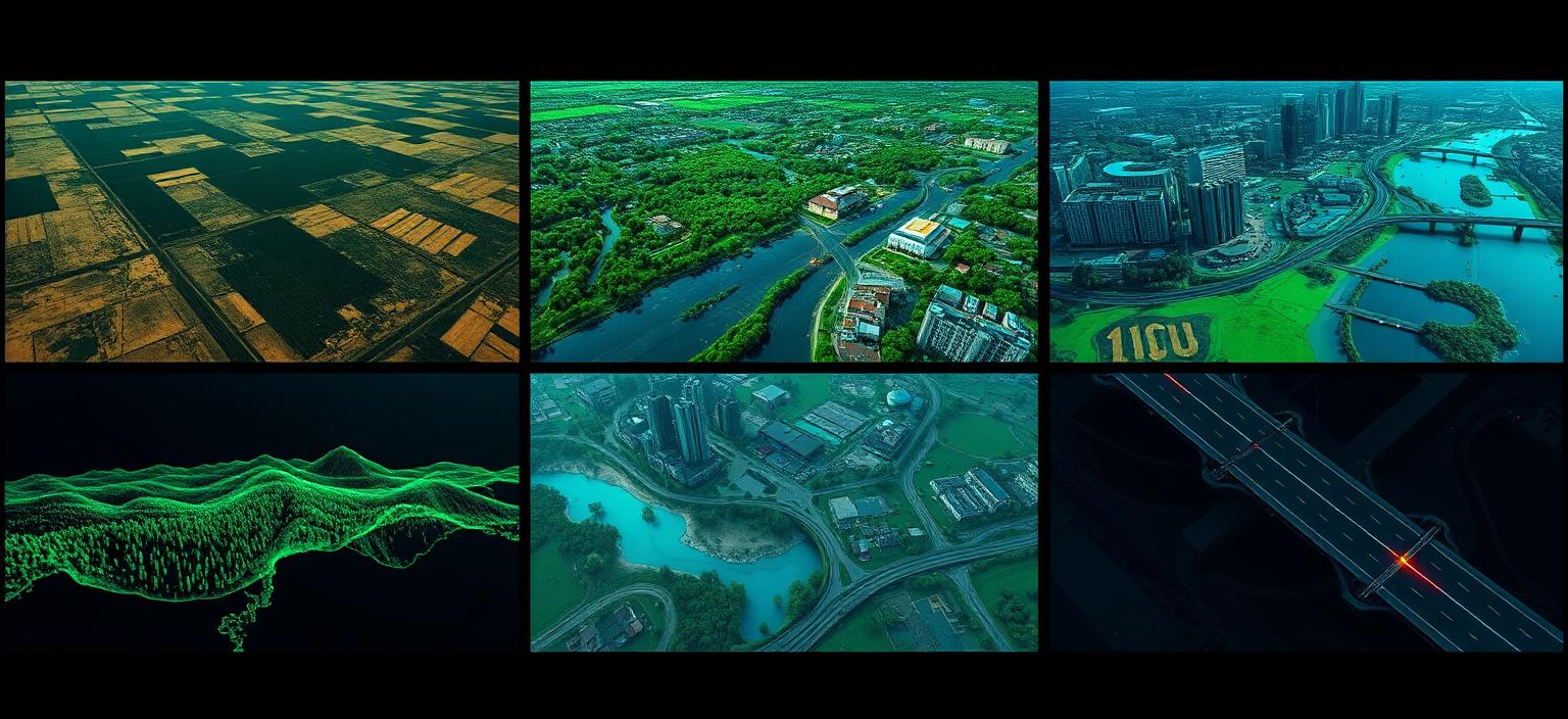
From cropland to city corridors, geospatial + AI helps us measure what is happening now and predict what comes next.
Crop monitoring, yield estimation, land assessment and precision agriculture.
Forest monitoring, biodiversity, conservation and carbon tracking.
Land use mapping, infrastructure planning and urban growth analysis.
Flood mapping, risk assessment, early warning and response planning.
Resource exploration, site selection and inventory mapping.
Route planning, asset monitoring and maintenance optimization.
Applied geospatial and AI work — from national-scale mapping to targeted site analysis.
Explore the signals shaping connectivity, settlement, and industry across all 47 counties.
A single satellite acquisition, reprocessed across spectral bands to reveal vegetation health, urban footprint, water bodies and bare earth.
Useful for distinguishing vegetation, bare ground, built-up areas and water bodies.
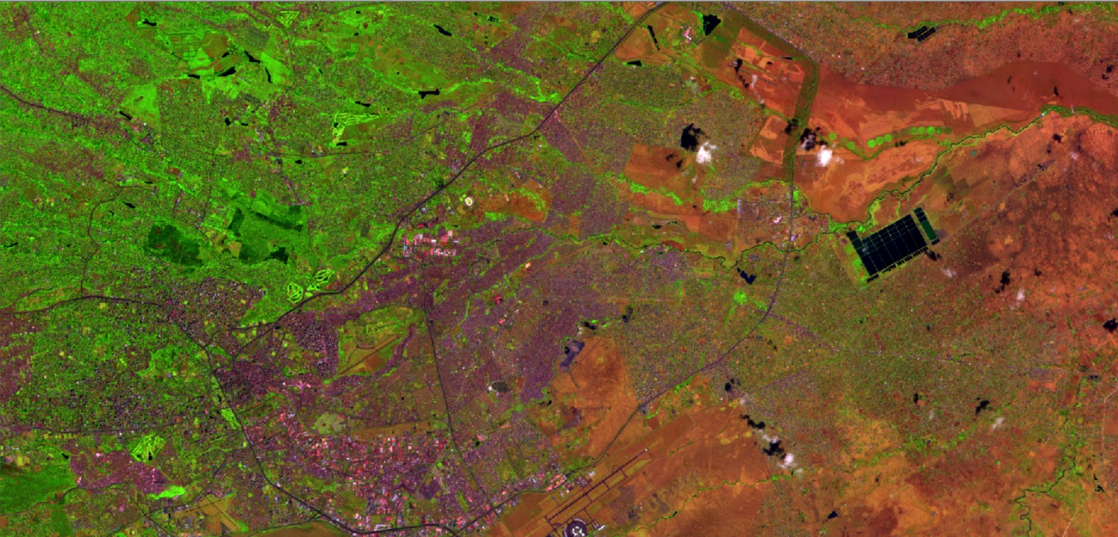
Highlights vegetation, urban zones, water and bare soil in one composite view.
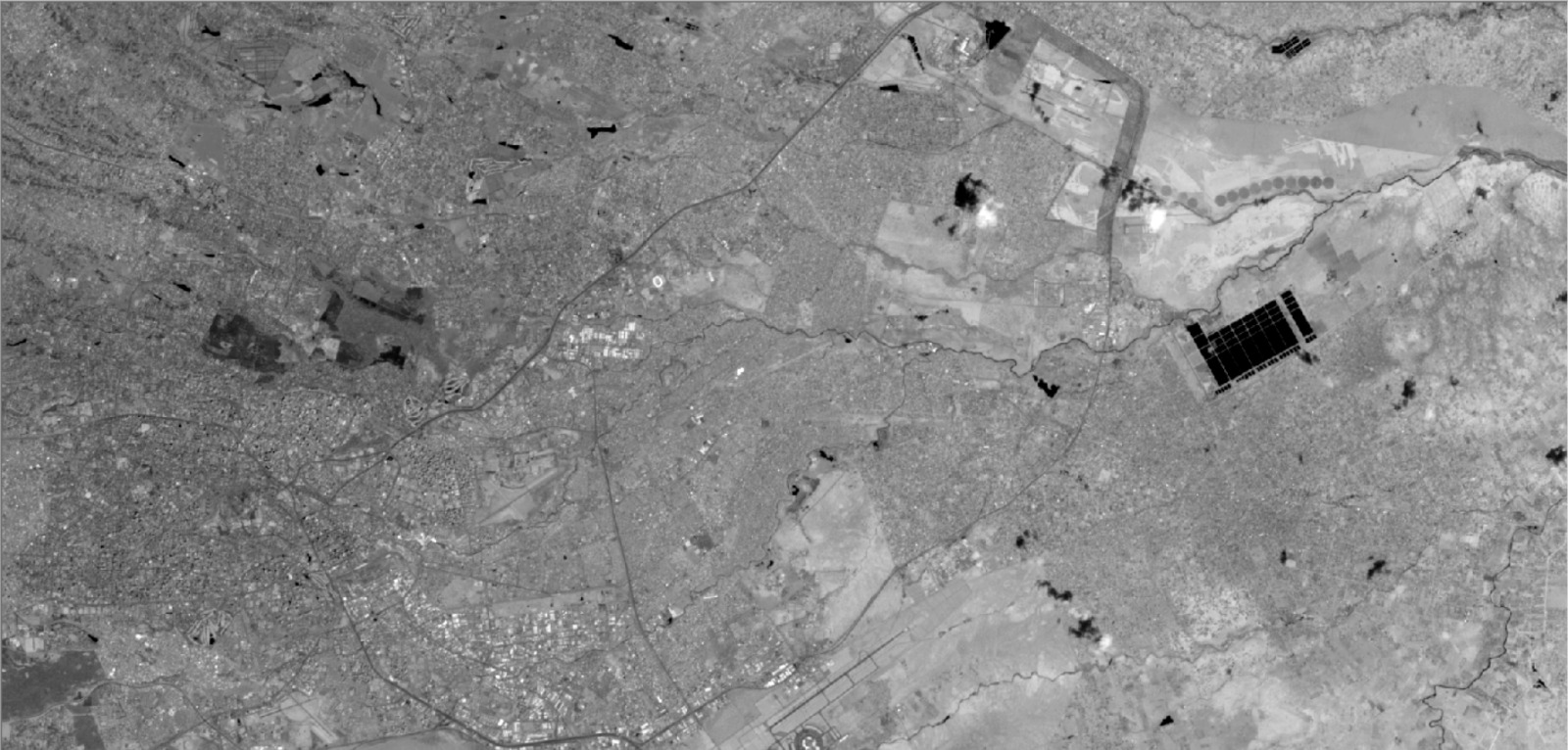
A single broad band that emphasizes texture and reflectance at high spatial detail.
I combine open-source GIS, cloud-based Earth observation platforms, Python data science and modern AI to deliver repeatable, scalable solutions.
Satellites can revisit the same place every few days, producing an objective record of how the planet is changing. When combined with AI, that record becomes a forecasting tool — for crops, forests, cities, water and risk.
I help clients translate that data into practical answers: where should we plant, where is the flood risk highest, where is the forest disappearing, where should the next road go?
Geospatial Engineering undergraduate at the University of Nairobi with a strong interest in GIS, mapping, Python, AI and computer technologies. I care about solving technical problems, running honest research, and applying geospatial tools to real-world challenges.
Start a conversationHigh-value analysis and consultations powered by modern AI tools. Fastest way to reach me is WhatsApp.